Connecting the Capital: The Evolution of Tehran’s Metro and the Launch of the New Tourism Map
Project Overview & Credits
- Implementation Year: 1405 (2026)
- Scale: Deployed across 24 metro stations
- Commissioned by: Tourism Headquarters of Tehran Municipality
- Executed by: Tehran Number by Number Research Group
Introduction
The history of urban rail in Tehran is as layered as the city itself, with its roots stretching back to the era of Nasser al-Din Shah Qajar. While those early visions were a far cry from modern infrastructure, they laid the conceptual foundation for what would eventually become the capital’s lifeline. Decades later, during the second Pahlavi period, serious studies for an underground metro network began. Under the Islamic Republic, these plans were realized and scaled, evolving into the robust, 100+ station network that serves millions of commuters today.
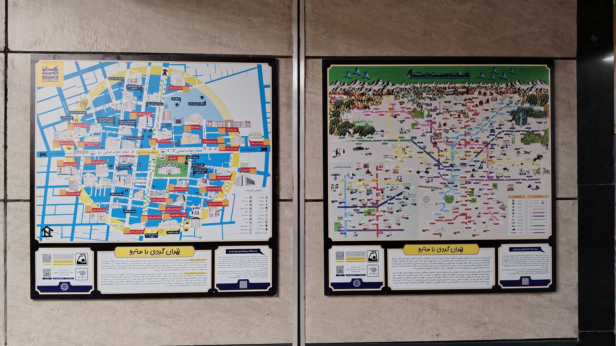
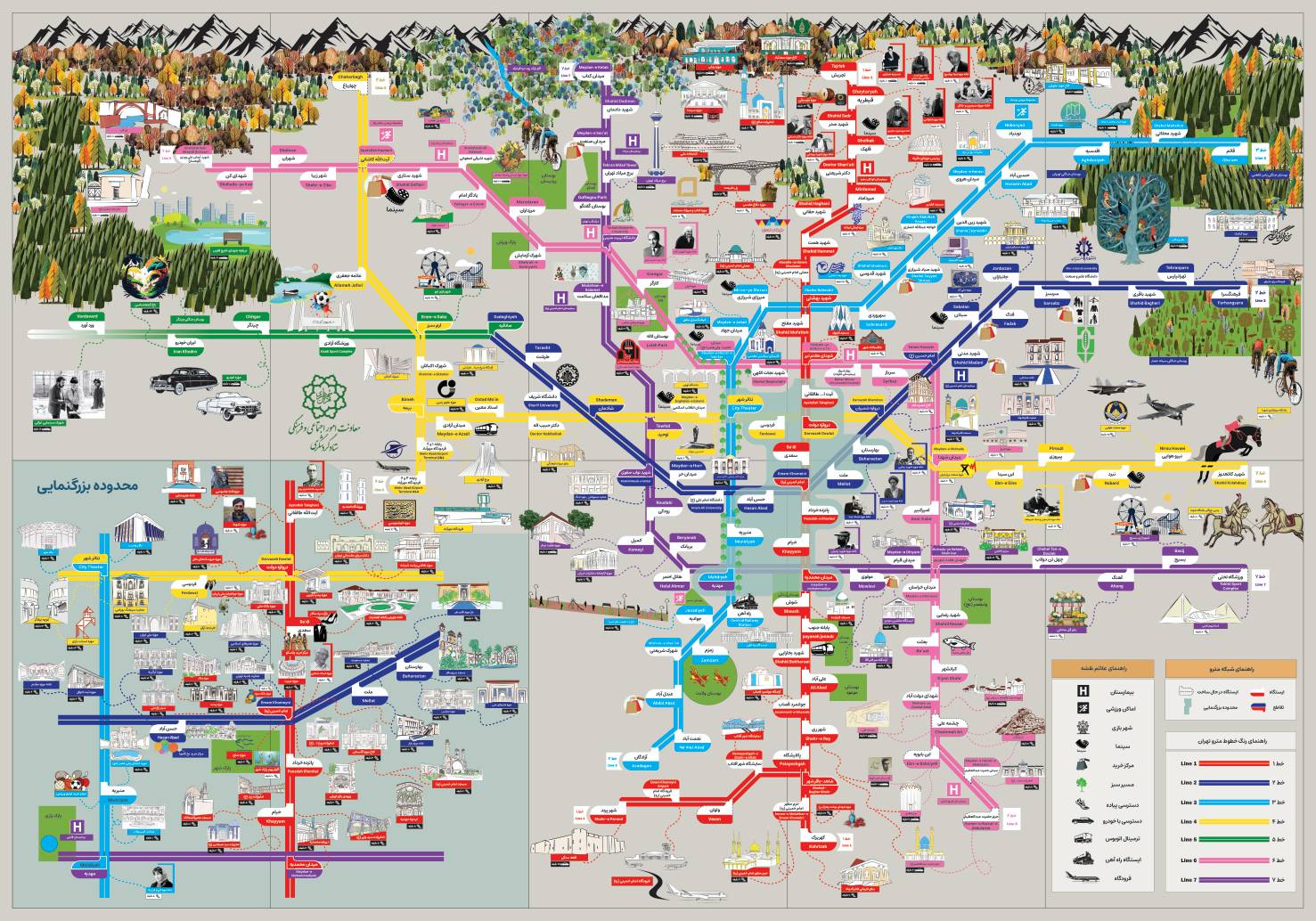 .The newly installed Tehran Metro Tourism Map, designed to integrate heritage sites with urban transit.”
The Rise of Metro Tourism
For years, world-class cities such as Tokyo, Madrid, and Paris have successfully leveraged their public transport infrastructure to promote urban tourism. By integrating navigation with cultural discovery, these cities have transformed transit systems from simple point-to-point connections into gateways for exploration. Tehran has now officially joined this league with the introduction of its new Metro Tourism Map.
Navigating the New Map
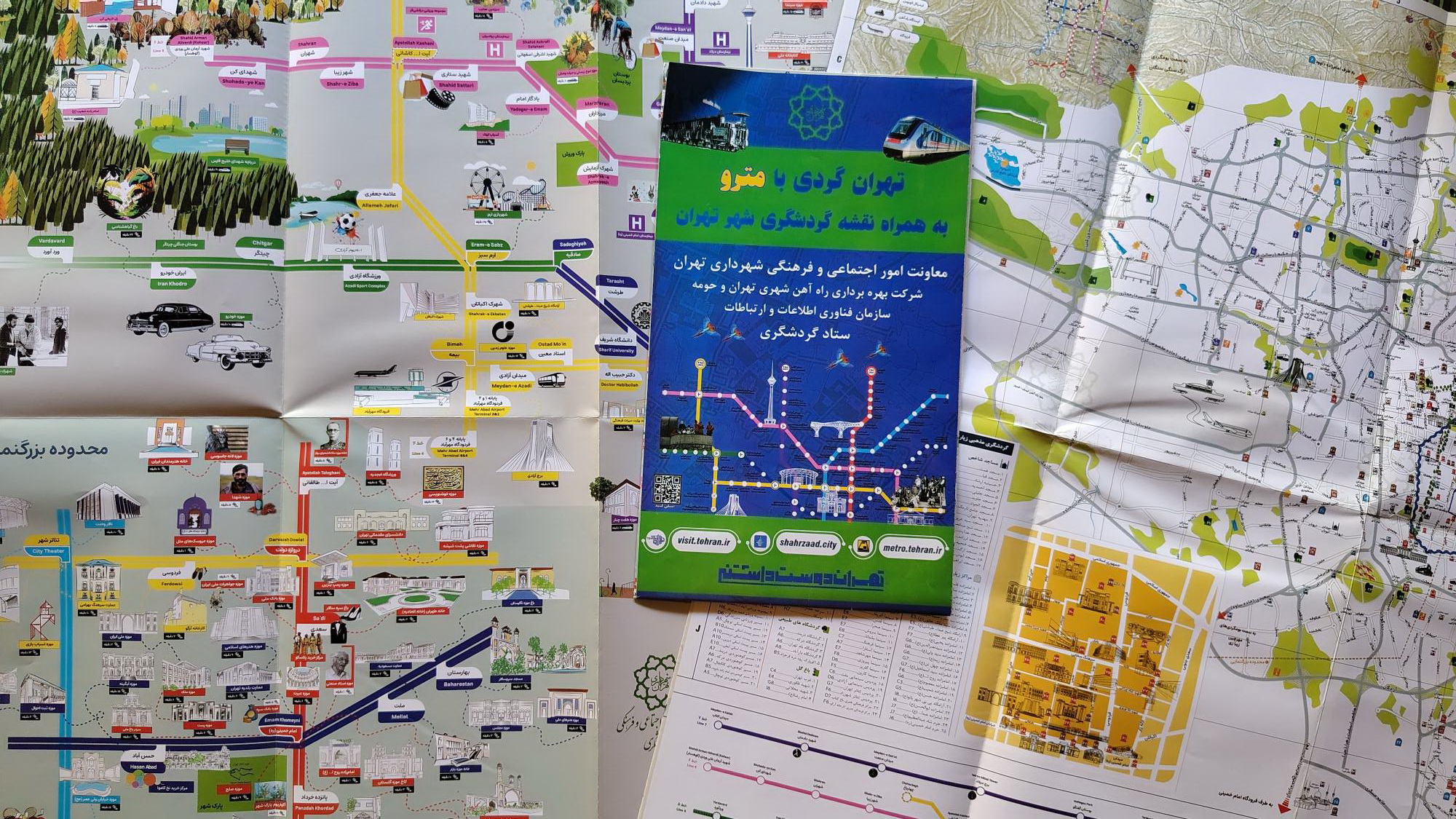
Currently being installed across several key stations, the “Tehran Metro Tourism Map” is a strategic initiative to help both residents and tourists engage with the city’s heritage. The map highlights key historical sites, cultural landmarks, and public service hubs relative to each metro station. By following the designated dashed lines, passengers can easily estimate their proximity to various points of interest.
Understanding the Map’s Scope
It is important to note that due to the vast complexity and density of Tehran’s metro network, this map is designed primarily as an overview. It does not aim to provide precise, street-level navigational data, but rather offers a “bird’s-eye view” of the city’s tourism potential. Its primary value lies in its ability to show, at a single glance, how the metro system connects the disparate cultural and historical nodes of the city.
This initiative is a significant step forward in urban planning, bridging the gap between utilitarian public transit and the enriching experience of urban tourism. Whether you are a local rediscovering your city or a visitor navigating the capital, the new Metro Tourism Map serves as a vital tool for unlocking Tehran.
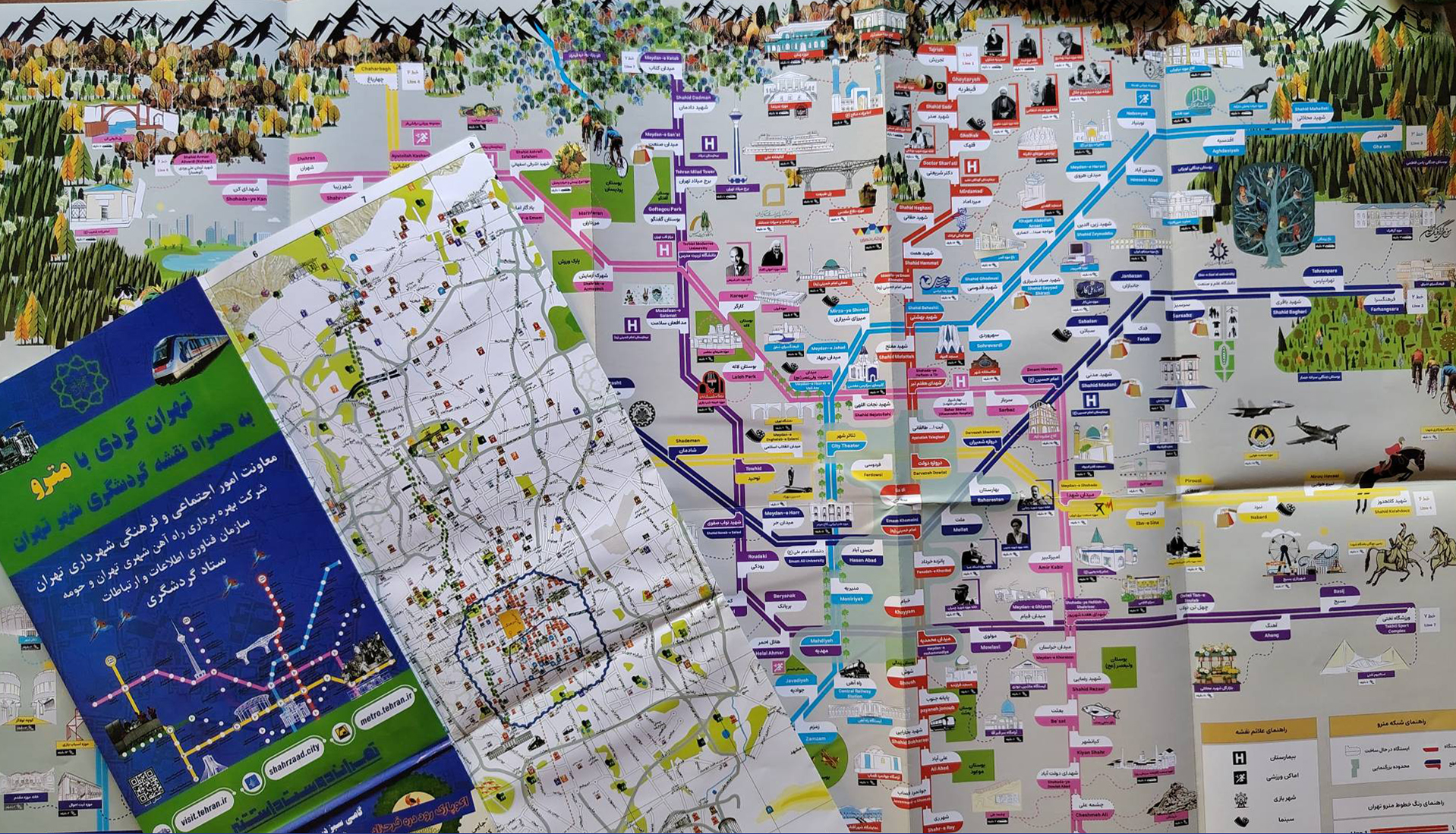
Click here for Tehran tourist maps.
💬 نظرات کاربران
📝 افزودن نظر جدید